THE MURRAY MALLEE
The Mallee is that section of South Australia lying north of the Dukes Hwy and south of the Sturt Highway through which the Mallee Hwy passes.
The western end is bounded by the Murraylands region, a narrow strip along the River Murray and the eastern end by the Victorian Boundary.
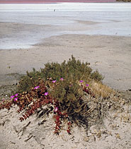
Semi arid, it is a large grain producing area with many farms and sheep stations.
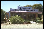
The heart of the area is around Lameroo and Pinnaroo which are also the two largest towns along the Mallee Hwy.
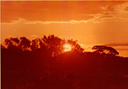
The Mallee is also noted for several large wilderness parks near and along its eastern border. It takes its name from the Mallee Tree which is prolific in
the area and is prized for its root system which provides excellent fuel for wood fires.
The region is mainly flat with small towns servicing the grain industry.
PARKS TO VISIT
INFORMATION CENTRES:
Loxton Tourism & Art Centre
Bookpurnong Terrace
Loxton SA 5333
Phone: 8584 7919
Email: loxtour@riverland.net.au
Bordertown Visitor Information Centre.
Tolmer Park. Bordertown. 5268 S.A.
(08) 8752 0700
Keith Visitor Information. Carrie's Cottage
Makin St. Keith. 5267 S.A.
(08) 8755 3200
LIST OF TOWNS INCLUDED IN THIS GUIDE: