 |
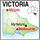
Myrtleford Victoria 3851 |
|
Population: 2510, Elevation: 215, Latitude: 36.34.00 Longitude: 146.43.23 Location: 280km north east of Melbourne Highway: Nearest Major Town: Wangaratta Nearest Airport: Albury Touring Area: Legends Wine & High Country | |
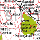
| On the Ovens Hwy between Wangaratta and Bright this town lies at the foot of the alpine area in bushranger country. | |
 |
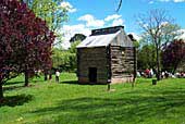 Historic Tobacco oast |


© Copyright Peter W. Wilkins