|
Wilkins Tourist Maps produces a free map in this area. You can pick up a North West map from accommodation houses, attractions and businesses, and some information centres in towns in this area. Click here for names and addresses of outlets where they are available. Select an area from below to automatically open it on this page. |
|
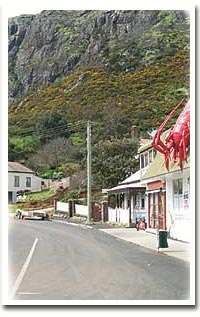
THE NORTH WEST & KING ISLAND The rugged and exciting north west Open to the winds and waters of Bass Strait and the Southern Ocean, the north west of Tasmania boasts a rugged coastline interspersed with golden beaches, rocky outcrops capped with lighthouses to warn unsuspecting mariners, and solid buildings built to house the families who tended them, and those who opened the country to sheep and cattle grazing and founded services along the coast and inland. On the north west tip, at the appropriately named Cape Grim, the Woolnorth Windfarm harnesses the Roaring Forties
to add to the hydro grid, and to the south the massive sand dunes stir under its caress. Sheltered by 'The Nut' a massive outcrop protecting the small town Stanley is one of many places providing
services along the north coast. It was here that Highfield was established in 1835, the base for the van
Diemen Company which developed much of the north coast and established Woolnorth. The house is now under
the protection of the National Trust and can be seen on a short drive from Stanley centre. Smithton is the largest town in the north east and is well serviced with motels and resorts, a large shopping
centre, and galleries and cafes to visit. It is an ideal touring point for the region and has its own nearby
attractions like the beautiful Allendale Gardens and the Temma Cheese Factory. From Arthur River a loose surface road connects with the west coast at Zeehan after crossing the massive Pieman River at Corinna. I recommend this as a trip despite the rough surface. King Island is dealt with elsewhere in these pages. |